Difference between revisions of "2012-12-23 27 -81"
imported>FippeBot m (Location) |
m |
||
| Line 15: | Line 15: | ||
=== The Geohashers === | === The Geohashers === | ||
| − | * [[user: | + | * [[user:Geoffistopheles|Geoff]] |
* Geoff's Dad | * Geoff's Dad | ||
| Line 41: | Line 41: | ||
| longitude = -81 | | longitude = -81 | ||
| date = 2012-12-23 | | date = 2012-12-23 | ||
| − | | name = [[user: | + | | name = [[user:Geoffistopheles|Geoff]] |
| vehicle = Grumman American | | vehicle = Grumman American | ||
Latest revision as of 17:06, 24 March 2021
| Have you seen our geohashing marker? We'd love to hear from you! Click here to say "hi" and tell us what you've seen!
Curious about what geohashing is? Read more! |
| Sun 23 Dec 2012 in Sebring, Florida: 27.5585921, -81.5100048 geohashing.info google osm bing/os kml crox |
Expedition
The Plan
Just on the shore of Lake Glenada.
The Geohashers
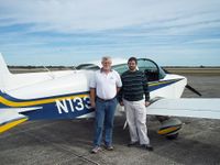
- Geoff
- Geoff's Dad
The Adventure
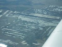
Coming out of Tampa, the approach to Sebring was uneventful. Dad pointed out the various manmade square lakes as phosphate mines. Between this area of Central Florida, underground mines in Saskatchewan, and a third that was never pointed out to me, these three areas supply 85% of the world's fertilizer. Interesting(?) factoid!
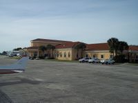
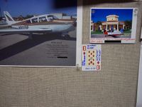
And yet the thing is, that's really the most interesting thing that happened. We landed at Sebring Regional Airport where I had the incredibly healthy early lunch of a bacon cheeseburger, and I got to leave the Ten of Diamonds in the pilot's lounge, but aside from that? Nothing.
We took off again to head east towards another airspace collision at Fort Pierce.
Gallery
- Photo Gallery
Achievables
Geoff earned the Air geohash achievement
|
