Difference between revisions of "2022-07-22 -43 172"
From Geohashing
Quaternary (talk | contribs) (Created page with "[[Image:{{{image|2022_07_22_-43_172_01.JPG}}}|thumb|left]] <!-- And DON'T FORGET to add your expedition and the best photo you took to the gallery on the Main Page! We'd lov...") |
Quaternary (talk | contribs) |
||
| Line 1: | Line 1: | ||
| − | [[Image:{{{image|2022_07_22_-43_172_01. | + | [[Image:{{{image|2022_07_22_-43_172_01.jpg }}}|thumb|left]] |
<!-- | <!-- | ||
| Line 35: | Line 35: | ||
<gallery widths="213px" heights="379px" perrow="4"> | <gallery widths="213px" heights="379px" perrow="4"> | ||
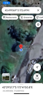
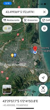
| − | Image:2022_07_22_-43_172_Geolocation1. | + | Image:2022_07_22_-43_172_Geolocation1.jpg | |
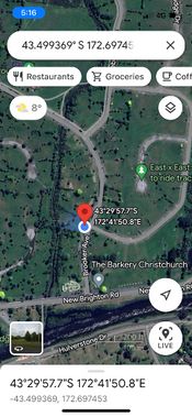
| − | Image:2022_07_22_-43_172_Geolocation2. | + | Image:2022_07_22_-43_172_Geolocation2.jpg | |
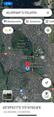
| − | Image:2022_07_22_-43_172_Geolocation3. | + | Image:2022_07_22_-43_172_Geolocation3.jpg | |
| − | Image:2022_07_22_-43_172_Geolocation4. | + | Image:2022_07_22_-43_172_Geolocation4.jpg | |
</gallery> | </gallery> | ||
| Line 46: | Line 46: | ||
<gallery widths="320px" heights="213px" perrow="3"> | <gallery widths="320px" heights="213px" perrow="3"> | ||
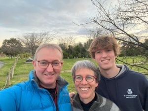
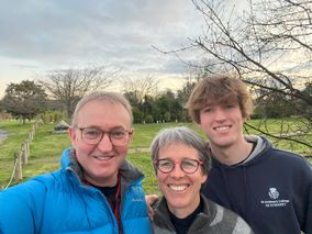
| − | Image:2022_07_22_-43_172_01. | + | Image:2022_07_22_-43_172_01.jpg | At the hash! |
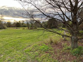
| − | Image:2022_07_22_-43_172_02. | + | Image:2022_07_22_-43_172_02.jpg | Looking west, |
| − | Image:2022_07_22_-43_172_03. | + | Image:2022_07_22_-43_172_03.jpg | ... south, |
| − | Image:2022_07_22_-43_172_04. | + | Image:2022_07_22_-43_172_04.jpg | ... east, |
| − | Image:2022_07_22_-43_172_05. | + | Image:2022_07_22_-43_172_05.jpg | ... and north. |
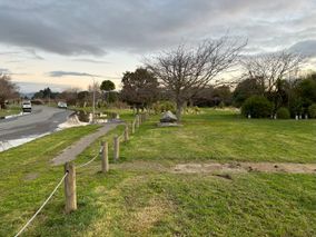
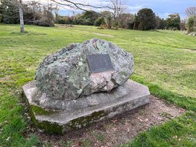
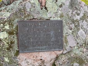
| − | Image:2022_07_22_-43_172_06. | + | Image:2022_07_22_-43_172_06.jpg | An old stone marks the spot where the first European settlers set up camp |
| − | Image:2022_07_22_-43_172_07. | + | Image:2022_07_22_-43_172_07.jpg | Little did they know it would be abandoned 150 years later |
| − | Image:2022_07_22_-43_172_08. | + | Image:2022_07_22_-43_172_08.jpg | Community planting projects attempts to hasten it's transition back to nature |
| − | Image:2022_07_22_-43_172_11. | + | Image:2022_07_22_-43_172_11.jpg | A before (2012) and |
| − | Image:2022_07_22_-43_172_10. | + | Image:2022_07_22_-43_172_10.jpg | after shot (2022) |
</gallery> | </gallery> | ||
Revision as of 06:22, 9 December 2023
| Fri 22 Jul 2022 in Christchurch: -43.4993690, 172.6974527 geohashing.info google osm bing/os kml crox |
Location
Burwood, Christchurch, New Zealand
Participants
The Quaternary (talk) family geohashers
Plans
It's my birthday, and it's the year for a Birthday Hash - fantastic!
Expedition
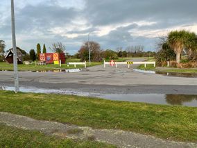
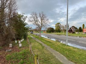
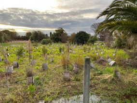
A short drive across town to the hash. It's in a part of town that was developed over a previous swamp. In the Christchurch earthquake of 2011, the area didn't stand up well and so was abandoned. So what was once a thriving community is now being planted back out into native trees and shrubs.
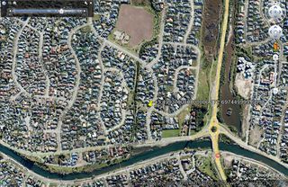
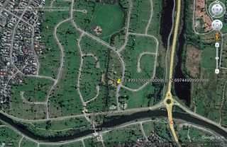
The hash is actually at the edge of what was a small park between two neighbouring sections. The children's play equipment is no longer here, and presumably ended up in the same landfill as all the tonnes of housing material. And the small park is now part of a large park.
Tracklog
Photos
Achievements
Mark earned the Birthday Geohash Achievement
|
Quaternary earned the Electric Vehicle Achievement
|
