2009-03-07 34 -79
| Sat 7 Mar 2009 in 34,-79: 34.9505124, -79.3216363 geohashing.info google osm bing/os kml crox |
Report
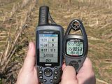
What a change this was from a snowman Geohash on Monday to a warm, short-sleeve weather hash. We were glad to find an accessible Geohash in a virgin graticule, and in a part of NC we had not visited. Eisen enjoyed driving by Fort Bragg and pointing out his old tromping grounds (we dated when he was stationed at Ft. Bragg, but never took me there).
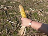
The hash was located in a wet corn field that had not been harvested…well, harvested by humans anyway. And there were huge deer prints all over the field and for that reason – corn.
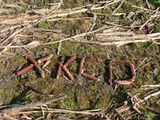
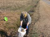
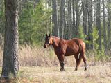
After finding the hash and marking its location, we walked back out to the road and geotrashed until 1600. Then we stopped to say hello to the geo-horse before going home.
Participants
Eisen & Bear - NCBears
Geological Features
Sandhills region of North Carolina. Flat farmland south of Ft. Bragg. Geohash was located ~600ft/183m from edge of road.
Wildlife Encounters
Deer prints, geese, turtle sunning on log. Horse across road from geohash
Weather
85.1°F/29.5°C, clear skies, winds constant 5+mph/8+kph gusting to 16mph/25.7kph

