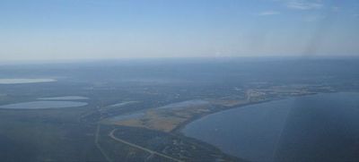
Slave Lake, Alberta
From Geohashing
Revision as of 11:11, 18 July 2012 by imported>Mkoniecz (FIX layout)
| Red Earth Creek | Trout Lake | Chipewyan Lake |
| Utikuma Lake | Slave Lake | Calling Lake |
| Whitecourt | Barrhead | Athabasca |
|
Today's location: geohashing.info google osm bing/os kml crox | ||
the Slave Lake, Alberta graticule is at 55, -114. There's Slave Lake, which has a small airport, and a highway. And there's part of Lesser Slave Lake. And mosquitoes. And bears. Also there is better Google Maps imagery for Ulaanbaator, Mongolia than for Slave Lake. Compare for yourself.
Activities
If you are lucky enough to be in this graticule in mid-July, you can attend the Alberta Open Sandsculpture Championships.
Expeditions
- 2008-08-15 - Unsuccessful expedition by Robyn.
- 2008-08-16 - Robyn gets to within 0.22 nm of the geohash.
- 2008-08-21 - Robyn goes all the way.
- 2008-08-24 - Robyn and ICWB do it again.
- 2008-08-26 - Robyn makes it a hat trick, without ICWB.
- 2008-08-29 - Another air hash from Robyn.
Notable Events
- 2008-08-19 - The hash is right on a road but it's 75 km away.
- 2008-08-21 - First successful geohash in the graticule.
The Slave Lake, Alberta graticule (55 -114) earned the Mostly Active Graticule achievement
|
