2015-10-31 -43 172
| Sat 31 Oct 2015 in -43,172: -43.6368677, 172.6309014 geohashing.info google osm bing/os kml crox |
Location
Ohinetahi Reserve, Christchurch, New Zealand
Participants
The Quaternary (talk) family geohashers
Plans
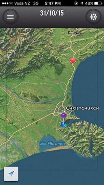
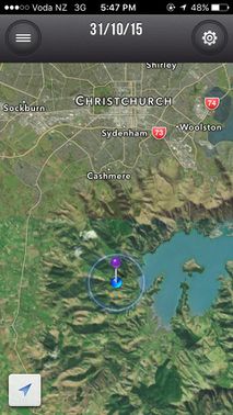
We'd been busy all afternoon, but it was a lovely day, and we discovered a nearby geohash that looked very close to a walking track - perfect!
(Isn't this the greatest thing about geohashing - getting to lovely spots that you don't even know exist).
Expedition
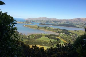
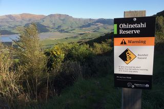
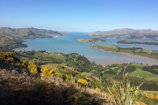
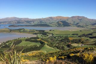
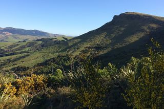
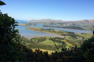
The track that we'd seen on the satellite image was on the Ohinetahi Reserve. The scenery was beautiful - looking down into an ancient volcanic crater, which is now Lyttelton Harbour; and with views out to the Pacific Ocean.
We wondered about 700 metres down the track, dropping down by about 100 metres. The track was mostly adjacent to farm land with bits of scrub.
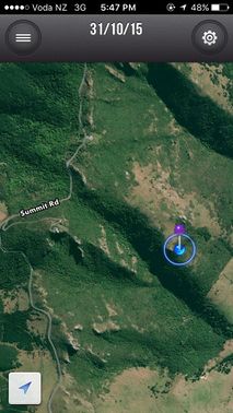
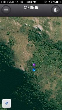
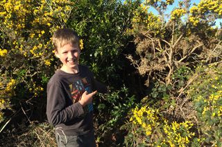
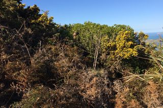
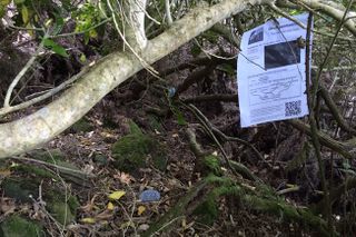
The track took us to within about 20 feet of the hash - the rest of the journey was going to be the hardest - through pretty dense scrub, including gorse and stinging nettle.
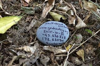
Even though it was a Saturday, unfortunately we didn't get to the hash until about 5:30pm.
Tracklog
Photos
Achievements
Quaternary earned the Electric Vehicle Achievement
|
Quaternary earned the GeoTrash Geohash Achievement
|
