Yakima, Washington
| Snoqualmie | Wenatchee | Moses Lake |
| Mt. Rainier | Yakima | Tri Cities |
| The Dalles, Oregon | Goldendale | Hermiston, Oregon |
|
Today's location: geohashing.info google osm bing/os kml crox | ||
Today's Location: (46, -120)
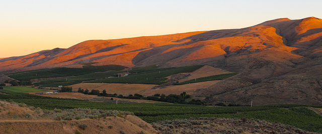
Yakima and a good chunk of the Yakima River valley comprise half this graticule. The Yakima Training Center, an army installation associated with Joint Base Lewis McChord, takes up most of the northeast of the graticule and is a no-trespassing area. Most of the western edge comprises of the lower slopes of the Cascades, rising ultimately to Mounts Rainier and Adams. The southwest of the graticule is dominated by the Yakama Indian Reservation and contains some areas that are off-limits to non-Tribe members. Temperatures range from -5C in the winter to 31C in the summer, and great swards of hops, grapes, and apples grow here.
Geohashes
- 2015-05-25 46 -120 -- Towel day geohash east of Holmes (and south of Ellensburg)
- 2014-07-22 46 -120 -- On the south side of the 16th Ave freeway on-ramp - success!
- 2014-01-22 46 -120 -- Along the Yakima River, south of Union Gap - failed
- 2013-05-16 46 -120 -- A field west of Wapato, near Reservation Memorial Park.
- 2010-09-11 46 -120 -- In a field just off I-82, south of Ellensburg - success!
- 2010-08-27 46 -120 -- West of highway 97, on Yakima reservation land - failed.
- 2008-08-09 46 -120 -- Off the Ridge Road, above Coyote Canyon, SW of Mabton.
Local Geohashers
- CBos lives in Yakima and desires to be a more active Geohasher
Local Landmarks
- Fort Simcoe State Park
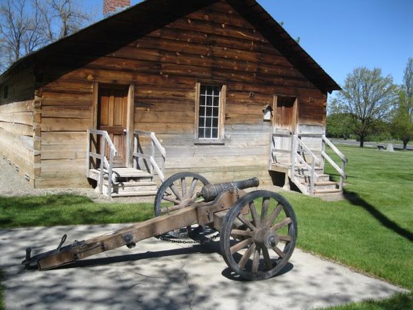
Fort Simcoe State park is located west of White Swan on the border of Yakama sacred lands. This fort was constructed in the Civil War era, but was quickly abandoned by the army. The park is day-use only and is a wonderful spot for picnics, short day hikes, and bird watching. A number of original fort buildings, including officer housing and bunkhouses, are still standing and are accessible to the public. More information can be found on the Washington State Parks Website.

