2008-10-12 52 13
| Sun 12 Oct 2008 in 52,13: 52.4999564, 13.3972475 geohashing.info google osm bing/os kml crox |
Participants
Plans
The first inner city hash in Berlin! Too good not to go. Google showed it as the corner of a building, meaning that it would be accessible via either someones backyard, an unbuilt area, or someone's roof terrace. There were shadows of high fences, but still, and then, why not?
Expedition
Even though it was not sure the hash was reachable at all, an inner city hash was an opportunity not to miss. Relet went by longboard, hoping to have a good reason to rename the bicycle achievement to HPV achievement after all. He started at about 3pm, taking his time going by nice big places, a few downhill spots and two geocaches. He arrived at the hash shortly past 4pm - or nearby.
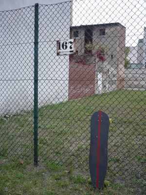
The hash lay on the rear corner of the building. The place was fenced in, with a rather high fence. As no one else was near, he decided to circle the block to see if there were any other access opportunities. Apparently the rest of the block is occupied by the European and the German patent offices, which use a bit of the courtyard as parking space. The other sides were also fenced - the gate might have been open on a working day, but not today.
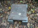
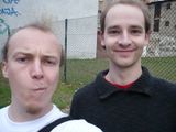
Having rounded the block he encountered Hessophanes who apparently had had the same idea. They decided not to ring on the residents nor to climb the fence in bright daylight and went to go geocaching instead. They also hid another cache with another geohashcoin. During this trip they discovered the geographical center of Berlin, which is marked by a plaque.
They came back to the hash spot to see if anyone had torn down the fence in the meantime. Then they returned by car to their respective homes.
