2009-04-11 36 -76
From Geohashing
| Sat 11 Apr 2009 in 36,-76: 36.5143502, -76.6418935 geohashing.info google osm bing/os kml crox |
R82b2x <a href="http://qnpgzivhlgye.com/">qnpgzivhlgye</a>, [url=http://tzkjtssypieg.com/]tzkjtssypieg[/url], [link=http://ywwecvakfkje.com/]ywwecvakfkje[/link], http://acnkthtlrekm.com/
Participants
Eisen & Bear - NCBears
Geological Features
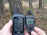
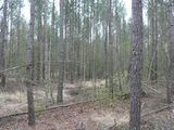
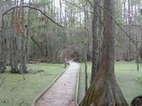
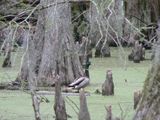
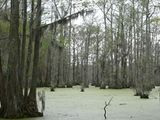
Flat wooded/swampy region close to the North Carolina/Virginia border. Geohash was located ~100ft/30m from edge of road, 5 miles/8km NNE of Merchants Millpond State Park and about 5 m/8km due West of Great Dismal Swamp NWR and State Park.
Wildlife Encounters
Farm animals – Goats, horses, cows, llamas, chickens
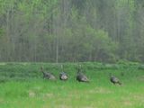
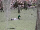
Wild animals – Ground hog, turkey, Pileated Woodpecker, Mallards, wood ducks
Weather
62.0°F/16.7°C, cloudy, sprinking rain, winds constant 8mph/13kph
