2010-12-27 66 25
| Mon 27 Dec 2010 in 66,25: 66.4830388, 25.7332708 geohashing.info google osm bing/os kml crox |
Contents
[hide]Location
In the city of Rovaniemi
Participants
- isopekka and the dog
Expedition
Finally the hashpoint situated in the city (in Korvanniemi) and close enough to try the walk hash. And this has to be happened in the winter when the temperature was about -20 degrees of Celsius!
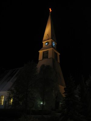
At 5:45 p.m. I started my expedition with my dog. It was quite a dark already. First I had to walk about 1 km along a road and then about 500 meters straight across the river. There was only 20 cm of snow on the ice, so it was quite easy to walk across the river. At 6:30 p.m. I was at the hashpoint. The point situated in the front of the window of a private house. I was polite, and stayed at the distance of 6 meters from the wall of the house to take some photos from my GPS screen. I think that the owner of the house did not see me, although I had to take one photo with flashlight. I tried to take photos from screen of the thermometer, but did not have great success.
I walked back home through the central part of city and tried to gain Tron achievement too. On the bridge I realized, that the batteries of the GPS did not work any more. I changed the batteries on the other side of the bridge and hoped, that the trace in spite of this can be read from the GPS. Finally at home I found out, that the trace-option had been switched off!! So I had to draw the route and mark into the route the places of the photos taken during the expedition. I think this will be sufficient proof for my Tron achievement.
All my technologies failed: I could not get a clear picture of GPS-screen at hashpoint, nor of thermometer screen, batteries of GPS failed and finally the tracing option of GPS was switched off. Maybe I earned some consolation prize...
We were at home at 7:15 p.m. Some hot drinks were needed...and soon after that some cold drinks.
- Walking total about 5 km
- Physical efforts needed (1-5): 3
The path can be found at [1]
Photos
Achievements
isopekka earned the Land geohash achievement
|
isopekka earned the Walk geohash Achievement
|
isopekka earned the Tron achievement
|
isopekka earned the Frozen Geohash Achievement
|
isopekka earned the Technology Loser Achievement
|
Other Geohashing Expeditions and Plans on This Day
Expeditions and Plans
| 2010-12-27 | ||
|---|---|---|
| Princeton, Missouri | Someone went | Southbound Interstate 35 near Lamoni, Iowa |
| Norwich, United Kingdom | Sourcerer | A road hashpoint two kilometres from the most easterly point in the UK next... |
| Rovaniemi, Finland | isopekka, the dog | In the city of Rovaniemi |


