2011-09-19
From Geohashing
Revision as of 13:36, 16 September 2011 by imported>AperfectBot (Ook.)
Expedition Archives from September 2011
Sunday 18 September 2011 | Monday 19 September 2011 | Tuesday 20 September 2011
See also: Category:Meetup on 2011-09-19
Coordinates
West of -30°: .4223289, .2688817
East of -30°: .8976453, .1769937
Globalhash:
71.576150155290,-116.282262531460
Photo Gallery
Expeditions and Plans
| 2011-09-19 | ||
|---|---|---|
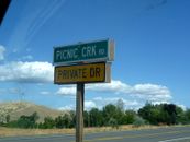
| La Pine, Oregon | Michael5000 | National Forest Land in northwest Lake County. |
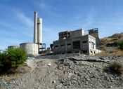
| Baker City, Oregon | Michael5000 | In the hills east of the industrial ruins at Lime. |
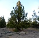
| Prairie City, Oregon | Michael5000 | In National Forest land southwest of Unity. |
| Kimberly, Oregon | Michael5000 | On a hill overlooking the John Day Valley west of Mount Vernon. |
| Prineville, Oregon | Michael5000 | Deep in the Ochoco National Forest. |
| Bend, Oregon | Michael5000 | In Crooked River Ranch, an ultra-low density development northwest of Terre... |
| Bellingham, Washington | relet | At the end of E Division Street in Mt Vernon |
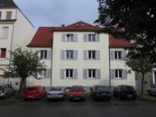
| Stuttgart, Germany | Ekorren, Ufomammut | Ludwigsburg, inside a house |
