Location
In the middle of the forest on Nonnenberg, near Luftschiff (a.k.a. Burgrabis, don't ask me where those names come from).
At the edge of a field near Graitschen bei Bürgel.
Auuuugh great! I looked up the point on Friday afternoon at anthill. Now wtf? Did I dream those coordinates or what?! Alright, I obviously cycled to the wrong point, ran through hedge and ditch for the wrong location and did it all wrong and what's worst is that I passed the actual location on my tour by maybe 3 kms. Excuse me, I need to go bang my head against a wall.
Participants
- Juja, Benjy and Frankie Mouse
Expedition
Yes.
Photos
| At the airport of Schöngleina.
|
| Paraglider landing just in front of me and my bike.
|
| Ok, seriously: up there it is. I should've known.
|
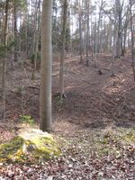
| Geohash guard I found in the middle of the forest.
|
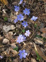
| Liverworts I also found nearby.
|
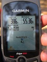
| The point is located next to a wood pile...
|
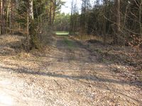
| ...and actually, directly on a way.
|
| Benjy and Frankie playing in the wood.
|
| Back down to my waiting bike...
|
| ...et voilà, this would have been the easy way!
|
|


