2020-09-12 51 13
| Sat 12 Sep 2020 in Dresden: 51.0474565, 13.8961582 geohashing.info google osm bing/os kml crox |
Location
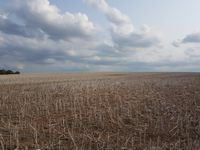
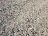
Today's location is in a harvested field in Dresden, between the incorporated towns Schönfeld and Weißig and Schullwitz.
Country: Germany; state: Sachsen (Saxony, EU:DE:SN); district: Dresden; Ortschaft: Schönfeld-Weißig; Stadtteil (city district): Schönfeld-Schullwitz
Weather: sunny
Expedition
Danatar
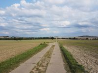
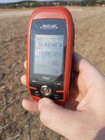
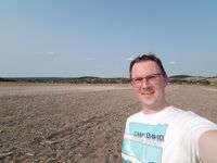
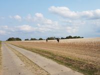
My plan was to start the expedition shortly before 3 p.m., but then I forgot the time and was suddenly reminded by the church bells striking three. I jumped on my bike and rode through Striesen to the Blaues Wunder bridge. Then I had to climb Grundstraße again which went pretty well. The hardest part this time was the street between Bühlau and Gönnsdorf a bit later, because it went even more uphill. But after that I reached the top of the hill where I could cycle along a field track between harvested fields. I arrived near the hashpoint at 15:57, then I had to quickly enter the coordinates into the GPS device before I crossed the harvested field to the spot. Hooray, Saturday meetup! As expected, I only met myself.
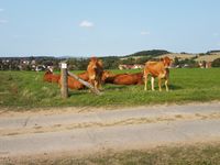
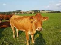
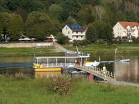
After taking some pictures I went to the cows that were in a pasture on the other side of the track. They were rather shy, staying just out of arm's reach. At first I thought they were obeying the corona virus rules, keeping 1.5 meters distance from me. After all, they were not wearing masks, I could clearly see snot on their snouts and cows might be able to carry the virus. But then I realized that they might also be suspicious because I had a wonderful beef steak at a barbecue on Wednesday and I'll meet some friends tomorrow evening at the steak house near my home for more delicious medium-cooked bovine. They didn't have to be afraid though, I prefer my food already slaughtered and cut. After a bit of patience I was able to feed a dandelion leaf to one of the cows, petting it in the process. Then I went back to my bike. When I was starting to turn around, I saw that two horse riders were riding across the fields and just entering the hashfield. From the direction they were heading, they were not going to hit the spot but at least they would be the second nearest people to the hashpoint today. Instead of taking the same route on my way back, I turned onto a country road after a short while, cycling downhill through Gönnsdorf towards the Elbe. Between Pappritz and Niederpoyritz the street was getting very steep (there was a sign indicating a decline of 13%) but I couldn't go fast because the street surface was in a rather bad condition in the first part and cobblestones in the second. Soon I reached the ferry across the Elbe. The captain had just closed the gate when I arrived but he opened it again to let me board when he saw me. On the other side I cycled along the Elbe until I reached Tolkewitz, then the last part was through the residential area of Striesen again.
In total, I cycled 22.4 km.
|
tracklog
will follow
