2009-07-06 48 12
| Mon 6 Jul 2009 in Landshut, Germany: 48.0732875, 12.5899034 geohashing.info google osm bing/os kml crox |
In a very muddy forest 6 km south of Bad Abbach, between Teugn and Saalhaupt.
dawidi with Tomcat and Hans
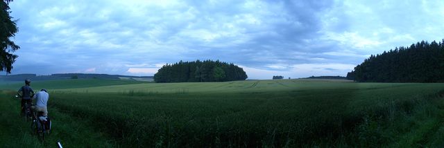
We met in Pentling shortly after 18:00, and cycled south through Graßlfing to Bad Abbach, where we easily found a geocache in the wall of the town's medieval castle, even though some kind of a festival was going on. Between there and the hash, we also stopped by a small monastery, for another geocache hidden in a tree trunk on a wet, overgrown forest clearing.
As we approached the hash forest, a hunter was getting into his seat on a raised hide just outside the forest, but we planned to exit the forest on the other side anyway, so we wouldn't cause each other problems. After only a few meters, the tracks got really bad, and my Garmin topo map once again suggested a lot of paths that weren't recognizable as such in reality. We had to try several options until we found the right track, but even that one was more of an overgrown swamp than an actual path. (Note to self: forest hashes are much more fun in winter!)
Eventually we got near the hash, but our GPSes behaved strangely due to the dense cover of wet leaves and lots of tall trunks. We had to dance around for a couple of minutes until Tomcat got a screenshot showing zero distance to the hash, and we picked a close-by spot to take pictures.
It was getting dark, so we pressed on to get back on solid roads... but we (and especially our bikes) did pick up a lot of mud on the way. We weren't really in a suitable shape to go into a reastaurant anymore, and it looked like we were in for a thunderstorm, so we kept cycling through Teugn and - even though the rain didn't really pick up and stopped again after a bit - ultimately decided to take the short route home via Poikam, Lohstadt and Sinzing (with a short stop for stargazing) instead of looking for a place to eat. Which was good, since we still ended up getting home past 23:00...


