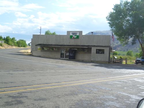
Kimberly, Oregon
| Goldendale, Washington | Hermiston | Pendleton |
| Prineville | Kimberly | Prairie City |
| Hampton | Hines | Buchanan |
|
Today's location: not yet announced | ||
Kimberly, the settlement from which this graticule takes its name, consists of a small store and an abandoned barn at an isolated highway intersection. Although there are a handful of slightly more substantial villages in the quadrant, such as Spray, Dayville, and Mount Vernon, this is an area of low population and few good roads. The graticule is crossed by U.S. Highway 26, which follows the beautiful and relatively more settled valley of the John Day River. To the north and the south is much more rugged, hilly terrain.
Contents
Expedition History
2017-08-20 44 -119
Success! Frogman, Higgs, Jess, and Justin reach a hashpoint in Ochoco National Forest.
2013-08-09 44 -119
Michael5000 does it again, or rather DOESN'T do it again. This graticule is a tough nut to crack.
2011-09-19 44 -119
Michael5000 fails again, although not as spectacularly this time.
2011-07-16 44 -119
Michael5000 and Mrs.5000 fail three times to reach the hashpoint in the first recorded attempt at this graticule.
