2023-08-13 53 7
From Geohashing
| Sun 13 Aug 2023 in 53,7: 53.2762304, 7.4273038 geohashing.info google osm bing/os kml crox |
Location
This Geohash is located on a meadow in Leer.
Participants
Expedition
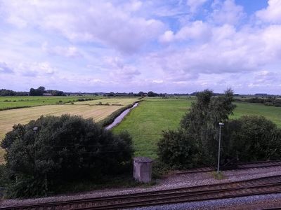
In the morning, I took the train via Rheine to Leer and continued on my inline-skates.
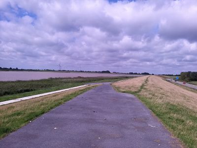
I skated along the dike for the river Ems, and afterwards further inland. When I arrived at the last road leading to the coordinates, it turned out to be a gravel path, so I swapped the skates for my shoes and continued on foot.
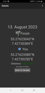
The gravel road led me to a meadow, which I crossed into another meadow, and located the coordinates there. On an adjacent meadow in the distance, there were some cows.
After recording proof, I left for 2023-08-13 52 7 in Rheine.
Photos
Tracklog
Ribbons
Fippe earned the Land geohash achievement
|
Is it true that Fippe earned the Last man standing achievement?
|
Fippe earned the Regional geohashing achievement
|
Categories:
- Meetup on 2023-08-13
- Meetup in 53 7
- Expeditions with tracklogs
- Land geohash achievement
- Radio Yerevan
- Regional geohashing achievement
- Expeditions
- Coordinates reached
- Expeditions with photos
- Meetup in Landkreis Leer
- Expeditions by Fippe
- Fippe's expeditions on foot
- Fippe's expeditions on inline skates
- Fippe's expeditions by train


