2024-06-20 53 7
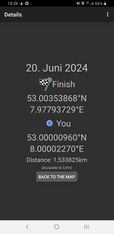
| Thu 20 Jun 2024 in 53,7: 53.0035387, 7.9779373 geohashing.info google osm bing/os kml crox |
Location
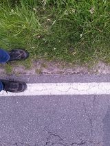
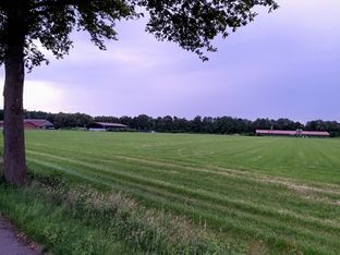
This Geohash is located at the side of a road in Osterloh.
Participants
Expedition
In the afternoon, I took the train to Cloppenburg and the bus to Osterloh/Hempen. In the bus, I got within the radius of uncertainty, but I also wanted to reach the coordinates on foot, so I walked the rest of the distance.
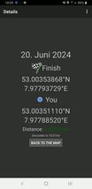
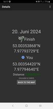
The coordinates were on the side of the road, but on the side opposite to the sidewalk on which I approached them. I waited for a few cars to pass before I crossed the street, located the coordinates and recorded proof.
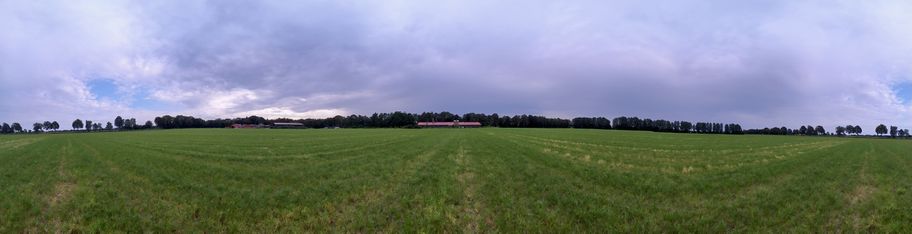
This geohash is located very close to a graticule corner, aka a confluence point, in this case the intersection of 53° North and 8° East. I walked to Aumühlen, where the confluence is located, and reached it on a meadow behind a farm.
The Bösel/Aumühlen bus stop is nearby, so I took the bus from there to Cloppenburg and the train back home to Osnabrück.
Photos
Geohash
On the bus
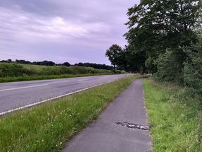
The site of the Geohash
Proof
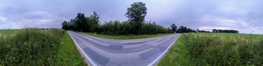
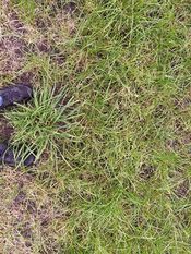
Surroundings
The Geohash


Confluence
Proof
53° N, 8° E
Surroundings
The site of the Confluence


Tracklog
Ribbons
Fippe earned the Land geohash achievement
|
Fippe earned the Public transport geohash achievement
|
Fippe earned the Subdivision geohash achievement
|
- Meetup on 2024-06-20
- Meetup in 53 7
- Expeditions with tracklogs
- Land geohash achievement
- Public transport geohash achievement
- Subdivision geohash achievement
- Expeditions
- Coordinates reached
- Expeditions with photos
- Meetup in Landkreis Cloppenburg
- Expeditions by Fippe
- Fippe's expeditions by bus
- Fippe's expeditions on foot
- Fippe's expeditions by train