Difference between revisions of "2008-06-01 45 -65"
From Geohashing
imported>Booberfish |
m (More specific location) |
||
| (4 intermediate revisions by 4 users not shown) | |||
| Line 11: | Line 11: | ||
Location at Google Maps: [http://maps.google.com/maps?q=45.349107N%2C%2065.916239W 45.349107N, 65.916239W] | Location at Google Maps: [http://maps.google.com/maps?q=45.349107N%2C%2065.916239W 45.349107N, 65.916239W] | ||
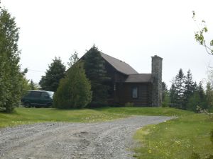
| − | [[Image:Cosy-lake-cabin.jpg|thumb|left|Log cabin near | + | [[Image:Cosy-lake-cabin.jpg|thumb|left|Log cabin near Wolsely Lake]] |
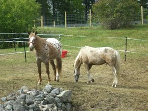
| − | [[Image:Cosy-lake-horses.jpg|thumb|left|Horses near | + | [[Image:Cosy-lake-horses.jpg|thumb|left|Horses near Wolsely Lake]] |
| + | |||
| + | [[Category:Expeditions]] | ||
| + | [[Category:Expeditions with photos]] | ||
| + | [[Category:Coordinates not reached]] | ||
| + | [[Category:Not reached - Mother Nature]] | ||
| + | [[Category:Expedition without GPS]] | ||
| + | <!-- that unforgiving terrain... --> | ||
| + | {{location|CA|NB|SJ}} | ||
Latest revision as of 22:34, 9 August 2020
| Sun 1 Jun 2008 in 45,-65: 45.3491079, -65.9162389 geohashing.info google osm bing/os kml crox |
This geohash is just off the highway 111 in southern New Brunswick, also known as Airport Access Road. Booberfish drove by at about 4pm, which according to Google Maps' distance measurement tool put him within 25 metres. Nearby on Cosy Lake Road was a lake, log cabins, and horses! Though there was a handy place to park at the end of the road, less than 200 metres from the geohash, without a hand held GPS unit getting any closer would have been pure guesswork. Plus the terrain didn't look very forgiving.
Location at Google Maps: 45.349107N, 65.916239W

