2009-05-09 50 -119
| Sat 9 May 2009 in 50,-119: 50.6692014, -119.0335969 geohashing.info google osm bing/os kml crox |
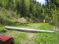
Logging road exploration. Deer skeleton, giant bumblebee, mosquitoes. Write up later.
Contents
Location
Up a hill, near a switchback on a forest service road near Mara Lake.
Participants
Planning
This geohash was situated on the side of a hill near the unincorporated area of Mara. Juventas and Rhonda looked at backroads maps and determined that the Hunter-Blurton Forest Service Road would take us almost all the way to the geohash. That would give us a short scramble to the geohash itself and plenty of time to drive back down and go on to the next graticule. We would leave Robyn's car in Mara and travel all together in Juventas' car.
So the plan was: drive to Mara, find road, park Robyn's car, drive almost to geohash, walk 50 metres through bush, tag geohash, reverse.
Expedition
Morning
Searching for the right logging road
Hiking up
Success
Walking down
Photos
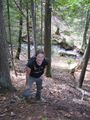
We tried some wrong roads
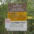
Then found the right road
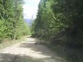
It was nice and wide
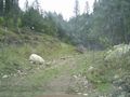
We stopped on a narrower road
Which Robyn didn't like much
An unexpected meadow
Across a stream and up a bank
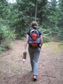
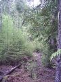
Along another road
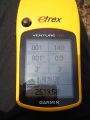
At the coordinates

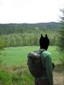
At the top of the hill
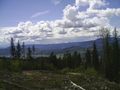
View from the top
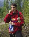
Snack time

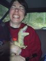
A visitor
Same visitor
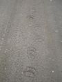
A bear took this road too.
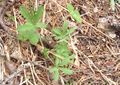
Interesting plants
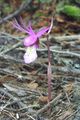
Purple flower
Google maps' friendly bright green
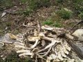
A skeleton


