Difference between revisions of "2018-04-05 48 8"
imported>Timm (Created page with " <!-- If you did not specify these parameters in the template, please substitute appropriate values for IMAGE, LAT, LON, and DATE (YYYY-MM-DD format) Image:{{{image|IMAGE}...") |
imported>Timm |
||
| Line 29: | Line 29: | ||
== Plans == | == Plans == | ||
| − | |||
I plan on arriving in Wildgutach by bus at 13:20 and will hopefully reach the hashpoint in less than an hour. This is my first expedition, so I have no experience with the timing and might be late (or early). | I plan on arriving in Wildgutach by bus at 13:20 and will hopefully reach the hashpoint in less than an hour. This is my first expedition, so I have no experience with the timing and might be late (or early). | ||
| + | |||
| + | == Expedition == | ||
| + | I was traveling to Freiburg to visit a friend and had a few hours to kill after I arrived there at 12:00. The hashpoint in the neighboring graticule was reasonably close, so I decided to go on my first Geohashing adventure. | ||
| + | |||
| + | While looking up bus schedules, I found out that I could attempt a Tron. There were two different bus stops in walkable distance from the hashpoint which I could use to take an entirely different route back to Freiburg. This ultimately failed, because buses apparently stop for other people too and the driver decided to take a small detour to a few of houses just off the main road, causing the bus to cross its own path. | ||
| + | {| | ||
| + | |- | ||
| + | ! style="width:300px" | !! style="width:300px" | !! style="width:300px" | | ||
| + | |- | ||
| + | | [[Image:2018-04-05_0002.jpg | 300px ]]|| [[Image:2018-04-05_0003_proof_pt1.jpg | 300px ]] || I left from Freiburg Central Station at 12:08 in a small diesel train that took me to this bus stop in Bleibach. Upon exiting the train, I was greeted by an intense smell of manure. | ||
| + | |- | ||
| + | | [[Image:2018-04-05_0006.jpg | 300px ]] || [[Image:2018-04-05_0009.jpg | 300px]] || The bus ride to Wildgutach was uneventful, save for the incident that foiled my tron plan. A few hundred meters from the bus stop, I encountered some sheep. | ||
| + | |- | ||
| + | | [[Image:2018-04-05_0010.jpg | 300px ]] || [[Image:2018-04-05_0016.jpg | 200px]] || I continued to walk on a small road alongside the river [https://en.wikipedia.org/wiki/Wild_Gutach Wild Gutach], which luckily wasn't so wild on that day. If it was any louder, I wouldn't have been able to hear the few cars that passed me on my way to the hash. | ||
| + | |- | ||
| + | | [[Image:2018-04-05_0017.jpg | 300px]] || [[Image:2018-04-05_0020.jpg | 300px]] || The hike through the valley was beautiful, despite a light drizzle. It smelt of pine needles and rain. | ||
| + | |- | ||
| + | | [[Image:2018-04-05_0021.jpg | 300px]] || || Finally, I can see the hash! It's on the hillside to the right of the road, behind the bridge. | ||
| + | |- | ||
| + | | [[Image:2018-04-05_0022.jpg | 200px]] || [[Image:2018-04-05_034.jpg | 200px]] || I had to climb a few meters through some thorns to get to the actual hashpoint. | ||
| + | |- | ||
| + | | [[Image:2018-04-05 0029.jpg | 300px]] || [[Image:2018-04-05 0035.jpg | 200px]] || The view from the hash and the best grin I could muster. | ||
| + | |- | ||
| + | | [[Image:2018-04-05_0036.jpg | 300px]] || [[Image:2018-04-05_0037.jpg | 200px]] || I continued my walk in the same direction towards the other bus stop at Neuhäusle, now on a larger road with slightly more cars. | ||
| + | |- | ||
| + | | [[Image:2018-04-05_0043.jpg | 300px]] || [[Image:2018-04-05_0045.jpg | 300px]] || Below the road, there was a small cottage with the roof crushed in, possibly by a falling tree. | ||
| + | |||
| + | The road got a lot steeper and now it really started to rain. | ||
| + | |- | ||
| + | | [[Image:2018-04-05_0048.jpg | 300px]] || || These people leave their trash everywhere. | ||
| + | |- | ||
| + | | [[Image:2018-04-05_0051.jpg | 300px]] || [[Image:2018-04-05_0052.jpg | 200px]] || At last, the bus stop! And I even had some time before the bus would arrive. | ||
| + | |- | ||
| + | | [[Image:2018-04-05_0053.jpg | 300px]] || [[Image:2018-04-05_0054.jpg | 300px]] || One look back before I got into the bus. The hashpoint is somewhere behind these mountains. | ||
| + | |- | ||
| + | | [[Image:2018-04-05_0058.jpg | 300px]] || || Back in Freiburg just in time to meet my friend. | ||
| + | |} | ||
| + | |||
| + | |||
| + | On my first expedition, I spent hours in various buses and trains, most of my stuff got wet and, due to my misguided tron idea, I had to walk uphill on my way to the hashpoint ''and'' back to the other bus stop. All the while thinking about the futility of making an effort to reach a randomly chosen point on the map. All in all, it was a fantastic experience and I enjoyed every second of it. Hopefully, I will be able to do it again very soon. | ||
| + | |||
| + | == Tracklog == | ||
| + | <!-- if your GPS device keeps a log, you may post a link here --> | ||
| + | [https://www.alltrails.com/explore/recording/geohash-2018-04-05-48-8 Alltrails] | ||
| + | |||
| + | I walked the part between Wildgutach and Neuhäusle. The trail is interrupted near the hashpoint, but it should be fairly obvious what route I took. | ||
| + | |||
| + | == Achievements == | ||
| + | {{#vardefine:ribbonwidth|800px}} | ||
| + | <!-- Add any achievement ribbons you earned below, or remove this section --> | ||
| + | {{land geohash | ||
| + | | latitude = 48 | ||
| + | | longitude = 8 | ||
| + | | date = 2018-04-05 | ||
| + | | name = Timm | ||
| + | }} | ||
| + | {{Public transport geohash | ||
| + | |||
| + | | latitude = 48 | ||
| + | | longitude = 8 | ||
| + | | date = 2018-04-05 | ||
| + | | busline = RVF | ||
| + | | name = Timm | ||
| + | | image = 2018-04-05_0003_proof_pt1.jpg | ||
| + | }} | ||
| + | {{Geotrash | ||
| + | |||
| + | | latitude = 48 | ||
| + | | longitude = 8 | ||
| + | | date = 2018-04-05 | ||
| + | | name = Timm | ||
| + | | image = 2018-04-05_0048.jpg | ||
| + | }} | ||
| + | {{Two to the N achievement | ||
| + | |||
| + | | count = 0 | ||
| + | | date = 2018-04-05 | ||
| + | | latitude = 48 | ||
| + | | longitude = 8 | ||
| + | | name = Timm | ||
| + | | reached = true | ||
| + | }} | ||
| + | |||
| + | [[Category:Expeditions]] | ||
| + | [[Category:Expeditions with photos]] | ||
| + | [[Category:Coordinates reached]] | ||
Revision as of 13:42, 6 April 2018
| Thu 5 Apr 2018 in 48,8: 48.0068180, 8.1392316 geohashing.info google osm bing/os kml crox |
Location
Next to a small road about 3km south of Wildgutach.
Participants
Plans
I plan on arriving in Wildgutach by bus at 13:20 and will hopefully reach the hashpoint in less than an hour. This is my first expedition, so I have no experience with the timing and might be late (or early).
Expedition
I was traveling to Freiburg to visit a friend and had a few hours to kill after I arrived there at 12:00. The hashpoint in the neighboring graticule was reasonably close, so I decided to go on my first Geohashing adventure.
While looking up bus schedules, I found out that I could attempt a Tron. There were two different bus stops in walkable distance from the hashpoint which I could use to take an entirely different route back to Freiburg. This ultimately failed, because buses apparently stop for other people too and the driver decided to take a small detour to a few of houses just off the main road, causing the bus to cross its own path.
 |
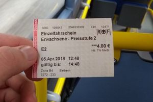 |
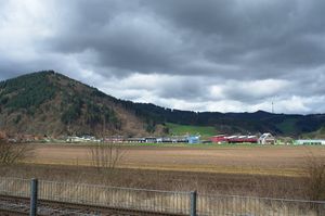
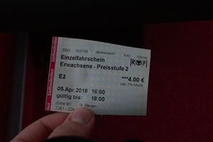
I left from Freiburg Central Station at 12:08 in a small diesel train that took me to this bus stop in Bleibach. Upon exiting the train, I was greeted by an intense smell of manure. |
 |
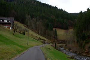 |
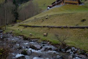
The bus ride to Wildgutach was uneventful, save for the incident that foiled my tron plan. A few hundred meters from the bus stop, I encountered some sheep. |
 |
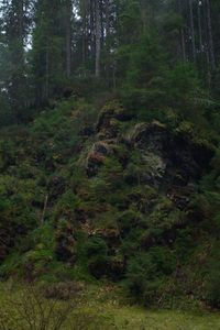 |
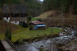
I continued to walk on a small road alongside the river Wild Gutach, which luckily wasn't so wild on that day. If it was any louder, I wouldn't have been able to hear the few cars that passed me on my way to the hash. |
 |
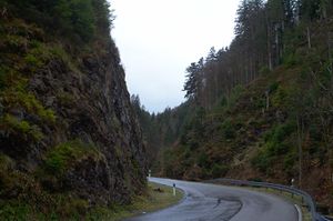 |
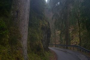
The hike through the valley was beautiful, despite a light drizzle. It smelt of pine needles and rain. |
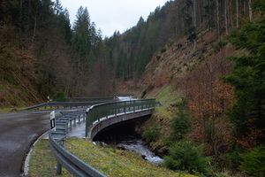 |
Finally, I can see the hash! It's on the hillside to the right of the road, behind the bridge. | |
 |
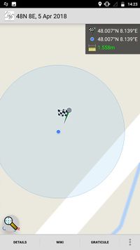 |
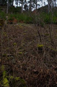
I had to climb a few meters through some thorns to get to the actual hashpoint. |
 |
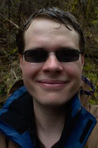 |
The view from the hash and the best grin I could muster. |
 |
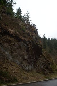 |
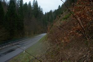
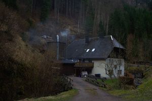
I continued my walk in the same direction towards the other bus stop at Neuhäusle, now on a larger road with slightly more cars. |
 |
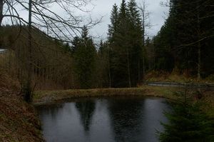 |
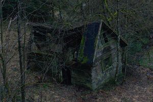
Below the road, there was a small cottage with the roof crushed in, possibly by a falling tree.
The road got a lot steeper and now it really started to rain. |
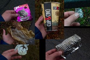 |
These people leave their trash everywhere. | |
 |
 |
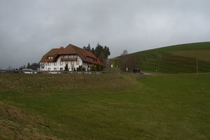
At last, the bus stop! And I even had some time before the bus would arrive. |
 |
 |
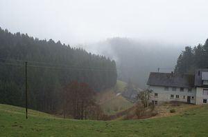
One look back before I got into the bus. The hashpoint is somewhere behind these mountains. |
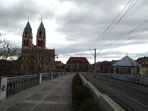 |
Back in Freiburg just in time to meet my friend. |
On my first expedition, I spent hours in various buses and trains, most of my stuff got wet and, due to my misguided tron idea, I had to walk uphill on my way to the hashpoint and back to the other bus stop. All the while thinking about the futility of making an effort to reach a randomly chosen point on the map. All in all, it was a fantastic experience and I enjoyed every second of it. Hopefully, I will be able to do it again very soon.
Tracklog
I walked the part between Wildgutach and Neuhäusle. The trail is interrupted near the hashpoint, but it should be fairly obvious what route I took.
Achievements
Timm earned the Land geohash achievement
|
Timm earned the Public transport geohash achievement
|
Timm earned the GeoTrash Geohash Achievement
|
