Location
On the hills between Sant Vicenç dels Horts and Cervelló.
Participants
SastRe.O
Plans
Bike there. According to forecast, after 16:00 temperature shouldn't be over 30ºC, so that's when I'll take off.
Expedition
It's been a while since my last expedition. Two factors: no near hashes, and a heat wave. I passed an opportunity last week since I wasn't feeling like running under 35ºC. But today only 30ºC. For which I was prepared. Brought more water than usually with me. And the half frozen.
Took Frühlingkiefer with me and at 16:00 I was already on the road. Hot but manageable. I don't want to imagine how it's going to be in July..
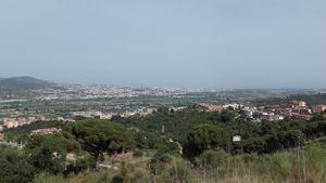
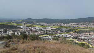
First half to the river very similar to past expeditions in this area. And then I entered the city of Sant Vicenç dels Horts and started climbing. There was this particular street, very steep and with no trees that cast shade where I gave up and pushed my bike. It was almost reaching Puig Castellar a hill from where, when I reached it, I had an awesome view from the Llobregat Valley.

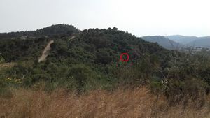
And now the difficult part, reaching the hash coordinates. It fell on the side of the hill, and according to OSM and GoogleMaps, there were no near paths. Knowing only this, I might not have attempted it, and even less carrying my bike. +200m with slope and in Mediterranean (holm oak) undergrowth is torture, so dense. But the ICGC map showed a path and, although I was little sceptical, it has yielded positive results in past expeditions, so I gave it a try.
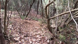
Near a pine tree I located on satellite imagery and identified on site, was indeed a path. Not ideal for my bike but I got through. I was not getting in the exact same direction I had expected, but it was actually going more directly to the hash. And then the path started to get narrower and eventually it kind of faded into the vegetation. But lucky me I was only 8 meters from the hash coordinates!
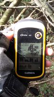
So I parked Frühlingskiefer and even keeping my helmet on, all possible branches and leafs tangled into my hair, but I got a good reading from the hash coordinates. The surprise was that there was a fence there, and didn't seem old, no idea with what intention. A few pictures, some dancing, and got my bike out of the forest again to the path.
The rest was easy, took another path back to the river, chose another crossing point to have some variety and a >1 hour later back home. No sunburn since I was duly protected. Water finished it all.
Tracklog
Photos
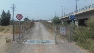
| These signs confuse me. Am I or am I not allowed to go there with my bike? :/ |
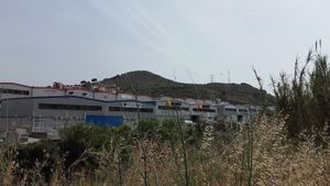
| The hills I am aiming for. The hash fell behind them. |
| The Llobregat delta. Quality of phone camera is not that great :( |
| Where the hash fell. Will there be a path? |
| The path I took to get here. |
| Exact location of the hash. |
| Frühlingskiefer parked in the forest. |
|
Achievements
Other Geohashing Expeditions and Plans on This Day
Expeditions and Plans
Update this list.

