Difference between revisions of "Goldendale, Washington"
imported>Michael5000 m |
imported>Michael5000 m |
||
| Line 12: | Line 12: | ||
| se = [[Kimberly, Oregon]] | | se = [[Kimberly, Oregon]] | ||
}} | }} | ||
| − | + | __NOTOC__ | |
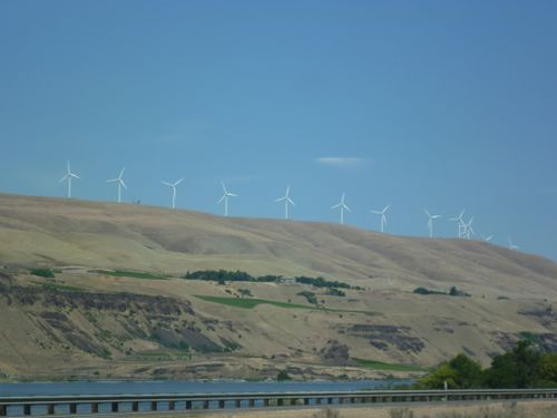
| − | [[File:2011-07-15 45 -120 Windmills.JPG|500 px|Huge windmills rise from the rim of the Columbia Gorge.]] | + | [[File:2011-07-15 45 -120 Windmills.JPG|thumb|500 px|Huge windmills rise from the rim of the Columbia Gorge.]] |
Revision as of 06:45, 25 September 2011
| Mt. Rainier | Yakima | Tri Cities |
| The Dalles, Oregon | Goldendale | Hermiston, Oregon |
| Bend, Oregon | Prineville, Oregon | Kimberly, Oregon |
|
Today's location: geohashing.info google osm bing/os kml crox | ||
The Goldendale graticule is dominated by the wheatlands of North Central Oregon and South Central Washington. It is divided, like the two states, by the dramatic Columbia River Gorge, through which Interstate 84, Washington State Highway 14, and two major railroads lines all run. Large farms intercut by deep, rugged canyons make accessible hashpoints few and far between.
Expedition History
2011-07-15 45 -120
Michael5000 and Mrs.5000 fail to reach the hashpoint due to barbed-wire fencing and a highly exposed position.
2010-05-07 45 -120
Wade and Robyn get close, but not quite close enough, to a hashpoint in an agricultural field in the first recorded attempt at this graticule.
Virgin Graticule Status
This (partly) Oregon graticule is still presumed to be "virgin." If you have (or have previously had) a successful expedition, award yourself the Virgin Graticule achievement, and please record the graticule's deflowered state here and on the Oregon page.
