Difference between revisions of "2021-05-03 41 2"
m (-Comments) |
m (User categories) |
||
| Line 61: | Line 61: | ||
{{Location|ES|CT|B}} | {{Location|ES|CT|B}} | ||
| + | {{user categories|user=SastRe.O|train=32.6|foot=11}} | ||
[[Category:Expeditions]] | [[Category:Expeditions]] | ||
[[Category:Expeditions with photos]] | [[Category:Expeditions with photos]] | ||
[[Category:Coordinates reached]] | [[Category:Coordinates reached]] | ||
Latest revision as of 15:10, 14 February 2022
| Mon 3 May 2021 in Barcelona, Catalonia: 41.6101930, 2.0018519 geohashing.info google osm bing/os kml crox |
Location
In the mountain range between Terrassa and Matadepera, Vallès Occidental, Catalonia.
Participants
Plans
Take the train to Terrassa's last station, and jog from there. Should be around ~10km, +/-500m, so a couple of hours if I take some geocaching into account.
Geohash seems to be out of the path and could potentially face a situation like this one, but cartography shows a path that is not on OSM which passes relatively close (so, maybe filling that later) and satellite imagery suggest a dry-ish area with not that dense vegetation, so if approach from south is not feasible, I can try from north.
Expedition
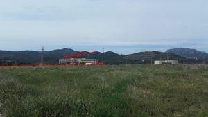
Very nice. Once in Terrassa I started my jog. I was right on the edge of the city, so passed by a few fields, a television Studio that used to be an abandoned hospital and then the first hills. An abandoned hospital? I know what you might think and yes.. it was filled with bad vibes, urban legends full of ghosts and such. After the reformation not anymore..
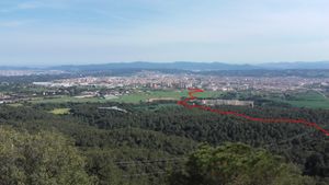
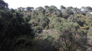
Then stated the ascension. More fast walking than jogging, but kept a good pace. I deviated a bit to go to the Sant Joan Hill where I had a beautiful view of the area. And behind me (north) the iconic La Mola with its monastery on the top.
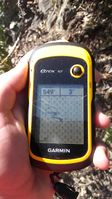
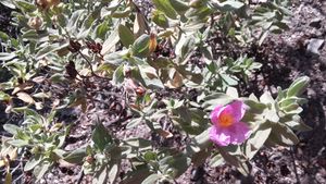
Now I approached the hash and found the hidden path easily. But approach from south was not that doable, so I did it from north, and dominating the slope, I managed to reach the hash coordinates.
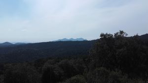
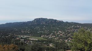
After that continued my jog with a two more hills, where I was rewarded again with some stupendous views and now back down. That was the easy part. It was nice to discover this area.
Tracklog
At the end it was 11km, +/-550m
Photos
|
Achievements
SastRe.O earned the Land geohash achievement
|
SastRe.O earned the OpenStreetMap achievement
|
SastRe.O earned the Regional geohashing achievement
|
Other Geohashing Expeditions and Plans on This Day
Expeditions and Plans
| 2021-05-03 | ||
|---|---|---|
| Barcelona, Spain | SastRe.O | In the mountain range between Terrassa and Matadepera, Vallès Occidental, C... |
| Barnstaple, United Kingdom | Tachibana Kanade | located in the Clyne Valley Woods in Swansea. |
| Braunschweig, Germany | Fippe | located in a forest in Wietzenbruch. |
| Hamburg (East), Germany | π π π | in the garden of a fancy apartment building on a fluvial island in Hamburg-... |
- Meetup on 2021-05-03
- Meetup in 41 2
- Expeditions with tracklogs
- Land geohash achievement
- OpenStreetMap achievement
- Regional geohashing achievement
- Meetup in Província de Barcelona
- Expeditions by SastRe.O
- SastRe.O's expeditions on foot
- SastRe.O's expeditions by train
- Expeditions
- Expeditions with photos
- Coordinates reached

