Difference between revisions of "Vittangi, Sweden"
From Geohashing
imported>ReletBot m (Updated graticule template with information from All Graticules, using standard format.) |
m (Replacing Peeron with Geohashing.info) |
||
| Line 16: | Line 16: | ||
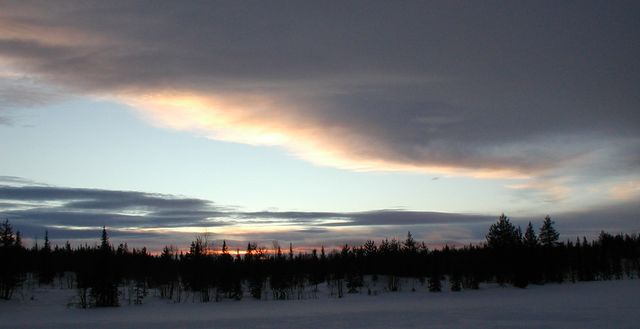
[[Image:2009-01-17 67 21 Sunset.jpg|640px]] | [[Image:2009-01-17 67 21 Sunset.jpg|640px]] | ||
| − | The [http://en.wikipedia.org/wiki/Vittangi Vittangi] [[graticule]] is at | + | The [http://en.wikipedia.org/wiki/Vittangi Vittangi] [[graticule]] is at {{Today's location|lat=67|lon=21|text=latitude 67, longitude 21}}. It also includes [http://en.wikipedia.org/wiki/Svappavaara Svappavaara] and several other villages. |
== Expeditions == | == Expeditions == | ||
Revision as of 21:26, 15 January 2022
| Råstojaure | Soppero | Karesuando |
| Kiruna | Vittangi | Tärendö |
| Vuollerim | Hakkas | Överkalix |
|
Today's location: geohashing.info google osm bing/os kml crox | ||
The Vittangi graticule is at latitude 67, longitude 21. It also includes Svappavaara and several other villages.
