Difference between revisions of "2008-02-19 45 -122"
From Geohashing
imported>Robyn (This was not a retro expedition!) |
imported>Robyn (Reverted anonymous edit miscategorizing as retro.) |
||
| Line 1: | Line 1: | ||
| + | {{Announce|This was not a retro meetup, but a beta test of the algorithm. It really did take place in February. Please stop categorizing it as Retro|bg=green}} | ||
{{meetup graticule | {{meetup graticule | ||
| map=<map lat="45" lon="-122" date="2008-02-19" /> | | map=<map lat="45" lon="-122" date="2008-02-19" /> | ||
Revision as of 16:18, 19 May 2009
This was not a retro meetup, but a beta test of the algorithm. It really did take place in February. Please stop categorizing it as Retro
| Tue 19 Feb 2008 in 45,-122: 45.8559045, -122.6853075 geohashing.info google osm bing/os kml crox |
About
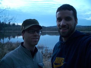
These coordinates were located in the Portland graticule on 2008-02-19, After some nasty looks from the local rich-folk we had to scramble down a flood water was to get to the coordinates.
45.8559044, -122.6853075
People
People who reached these coordinates:
4pm PDT
Noterminal and Drache earned the Land geohash achievement
|
