2024-05-19 52 8
| Sun 19 May 2024 in 52,8: 52.5388936, 8.0974074 geohashing.info google osm bing/os kml crox |
Location
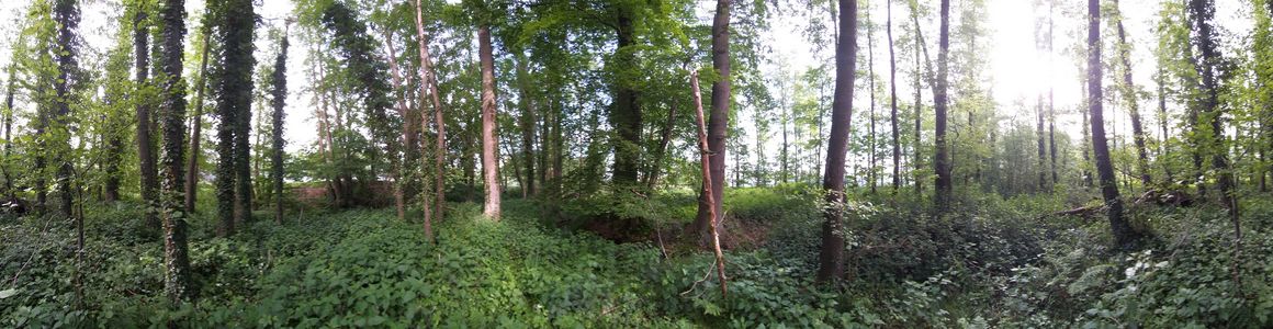
This Geohash is located in a forest in Nellinghof.
Participants
Expedition
In the morning, I took the train to Neuenkirchen (Oldb) and walked the rest of the distance. On the way, I walked a few paths that were not on OpenStreetMap yet.
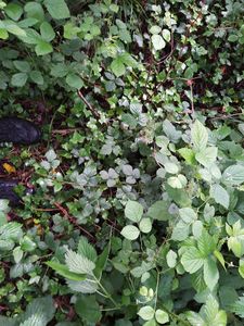
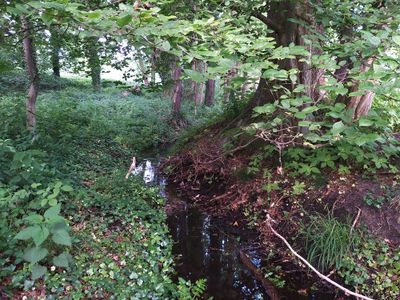
The coordinates were in a small forested area next to a field. Two creeks converged there, it was a mosquitoe paradise. The Dance™ was tricky, sometimes I moved while my coordinates remained the same, sometimes I didn't move but my coordinates jumped around. In the end, I was able to zero in and record proof.
Afterwards, I left the forest, walked to Holdorf and took the train back home to Osnabrück. Neuenkirchen-Vörden was the last remaining municipality in the district of Vechta that I had not visited yet, thus completing my subdivision geohash achievement for the area.
Photos
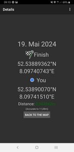
Proof
The Geohash
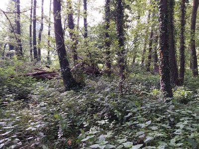
The site of the Geohash
Mosquito heaven
Surroundings


Tracklog
Ribbons
Fippe earned the Land geohash achievement
|
Fippe earned the OpenStreetMap achievement
|
Fippe earned the Subdivision geohash achievement
|