2009-05-21 49 8
| Thu 21 May 2009 in Mannheim: 49.4042194, 8.6254432 geohashing.info google osm bing/os kml crox |
Contents
Location
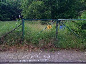
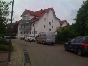
Today's hashpoint is located in the town of Eppelheim, a small town next to Heidelberg, population 14,357. It is located on a lot between two houses in the Franz-Holzmann-Straße. While the Google maps imagery of this area was taken 9 years ago, the bird's-eye-view in Microsoft's maps service [1] shows something looking like an empty lot.
Participants
Planning
moved to talk page
Expedition
Live from the Expedition
- currently 20m away from the hashpoint. It's an empty lot, private property, though. Somebody was already here and left a note that they'll be back at 16:00. --koepfel 12:51, 21 May 2009 (UTC)
Report by Koepfel
It was Geohashing Day. The idea of Geohashing day is to do something special. As I usually go on expeditions by Karlruhe's excellent tram-train system (or other trains) or by bike, the "special" thing to do would be using some other form of transport. Walking? Well, it's about 12 kilometers, also not that special, since I can also do that in Karlsruhe. No, as I'm currently at my parent's house these days, I had to convert to the dark side of Geohashing and go by car. Also, since I haven't been driving for over a year now, it might be good to see, if still I can.
After about 30 minutes of driving, which went surprisingly well, I arrived in Eppelheim. Just as I entered the town, it started raining. Driving by the Hashpoint, I saw a chalk marking on the road. I parked the car, went to read it. It said: "Back @ 16:00", but it was already disolving in the rain. So I waited in the car, then redrew the marking. At the sidewalk, my GPS showed about 20 meters to go (given as 0.02 kilometers) and the accuracy is 17 meters. Later, thepiguy and srs0 said they reached the Hashpoint from the sidewalk, according to their GPS. Until I met them, I had to wait about one hour, so I decided to explore the town of Eppelheim.
Eppelheim is connected to Heidelberg via tram line 22 (formerly line 2). In the narrow streets of Eppelheim, the tracks run on one side of the road, so trams back to Heidelberg drive on the left side of the road, resulting in some rather complicated situations. Trams in Eppelheim run every 10 minutes during weekdays and every 30 minutes on Sundays and Holidays (like today, Ascension Day). At the tram terminus, I photographed a yellow phone booth for Ekorren. As 16:00 was approaching, I headed back to Hash Road, where srs0 and thepiguy were already waiting. After chatting for a while, we decided to head to a nearby restaurant, 360 meters away. We can has Pub Geohash?
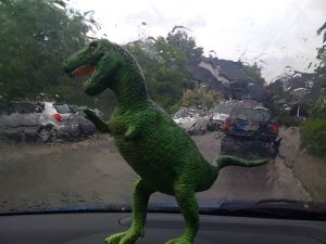
After our meal, we went back to the Hash, took Geohashing mascot pictures. Then, I drove them back to the Heidelberg main station and headed home, arriving at about 19:00.
Here's the Tracklog (.gpx, .kmz, in Google Maps) of me driving from a parking lot near my parent's house to the Hashpoint.
Report by thepiguy and srs0
thepiguy, srs0 and Koepfel earned the 2009 Geohashing Day achievement
|


