Difference between revisions of "2009-03-30 48 8"
imported>Koepfel |
imported>Fluxkompensator (→Planning: fluxkompensator's gallery) |
||
| Line 39: | Line 39: | ||
==== Planning ==== | ==== Planning ==== | ||
I will try to reach the geohash by bike from Karlsruhe, taking the ferry Neuburgweier/Neuburg. Probably I will be there a bit earlier than Koepfel, because I want to back before 5pm. Maybe we meet anyway if I'm late :-). | I will try to reach the geohash by bike from Karlsruhe, taking the ferry Neuburgweier/Neuburg. Probably I will be there a bit earlier than Koepfel, because I want to back before 5pm. Maybe we meet anyway if I'm late :-). | ||
| + | |||
| + | ==== Expedition ==== | ||
| + | <gallery> | ||
| + | Image:2009-03-30_48_8_ferry.jpg|Waiting for the ferry to cross the Rhine. | ||
| + | Image:2009-03-30_48_8_on-ferry.jpg|On the Rhine-ferry. | ||
| + | Image:2009-03-30_48_8_bike.jpg|My bike near the hashpoint. | ||
| + | Image:2009-03-30_48_8_gps.jpg|Etrex GPS. | ||
| + | Image:2009-03-30_48_8_meetup.jpg|Meetup - Koepfel, Fluxkompensator and his daughter. | ||
| + | Image:2009-03-30_48_8_signs.jpg|Signs at the bike lane. On the right part you can see the French-German border in the background (changing of pavement). | ||
| + | Image:2009-03-30_48_8_border.jpg|French-German border. Left side is Germany (Rhineland-Palatinate). France is on the right with the two geese in the meadow. In the background you can see the Rhine with Baden-Württemberg on the opposite bank. | ||
| + | </gallery> | ||
| + | |||
Revision as of 01:13, 31 March 2009
| Mon 30 Mar 2009 in Pforzheim: 48.9706130, 8.2250965 geohashing.info google osm bing/os kml crox |
Contents
Location
Today's Hashpoint is located about one kilometer south of Berg, a small village near the French-German border. The hashpoint itself is actually in France, 200 meters from the border, the nearest town in the same country is Lauterbourg, but Berg seems to be closer. The point might very well be near the most eastern point in France, except Corsica (no source on this, just a short check in Google Maps)
Expeditions
Koepfel
Planning
Similar approach as on my expedition to Neuburg, depart at Karlsruhe Kronenplatz at 14:37, S5 to Wörth or at 14:51, S4 to Hauptbahnhof, then the 15:07 Regionalexpress to Wörth, then at 15:19 Regionalbahn to Lauterbourg, arrives in Berg at 15:31.
With Fluxkompensator's announcement, I decided to take a train one hour earlier (even though he probably won't be able to read this anymore).
Live from the Expedition
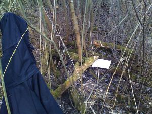
- coordinates reached. I wish i'd have brought a machete or something. The hashpoint is in the middle of very thick undergrowth. --koepfel 13:22, 30 March 2009 (UTC)
- fluxkompensator arrived at about 16:00. After he visited the hash, we went for a nearby geocache and split up at about 17:00 at the rhine. He cycled home, i went by foot to lauterbourg, and am now in the train back to wörth. --koepfel 15:45, 30 March 2009 (UTC)
Afterwards
(all Pictures of the expedition)
Note: This is a just a short summary of the expedition. A more detailed description is included in the Image Gallery linked above
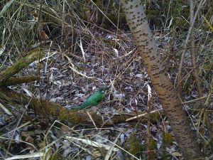
Left Karlsruhe at 13:37, took the S5 to Wörth, then the Regionalbahn to Berg. After a minor detour due to me chosing a wrong path and fighting through dense undergrowth, I arrived at the Hashpoint at about 15:15. Since I found no signs of Fluxkompensator already been there, I left him a note and rested near the Hash until about 16:00. Just when I was about to leave, I saw him and his daughter in the bike trailer in the distance, After visiting the Hash again, we looked up a nearby Geocache and also found this, whatever it is. At about 16:55, we split up and, since I just missed my train in Berg, I decided to walk the 4.5km to Lauterbourg. From there, I went back to Karlsruhe, where I arrived at about 18:45.
Koepfel earned the Public transport geohash achievement
|
Koepfel earned the Land geohash achievement
|
Koepfel earned the Border geohash achievement
|
Koepfel earned the Reverse regional achievement
|
Koepfel earned the Meet-up achievement
|
Fluxkompensator
Planning
I will try to reach the geohash by bike from Karlsruhe, taking the ferry Neuburgweier/Neuburg. Probably I will be there a bit earlier than Koepfel, because I want to back before 5pm. Maybe we meet anyway if I'm late :-).


