2022-01-15 51 15
| Sat 15 Jan 2022 in Zielona Góra, Poland: 51.1806112, 15.0036901 geohashing.info google osm bing/os kml crox |
Location
Today's location is in a meadow near Görlitz
Country: Germany; state: Sachsen (Saxony, EU:DE:SN); district: Görlitz; municipality: Görlitz.
Expedition
Danatar
This hashpoint fell into the tiny German part of the graticule, which is only around 24.4 km² or 0.32% of the graticule area. I have waited a long time for this, because on average only a bit more than one hashpoint per year is in that part. That means that while there have been (51, 15) hashpoints in Germany over the years (14 until 2020, the retro tool doesn't have the later data), most of them were on a working day and/or more difficult to reach. This spot is more accessible than 98% of the German part, if you look at it from the nearby city of Görlitz (population 55 000, has a train connection to Dresden). It was also a Saturday and I didn't have to work (at least not any more after 8 a.m.), so this was a very rare chance for me to complete the Regional geohashing achievement.
I started at 1 p.m. and cycled to the Dresden-Neustadt train station, returning the telemedicine laptop to my work along the way and visiting an ATM to draw some more cash— waitaminute, what does "card declined" mean? Oh, it was apparently only valid until 2021-12-31; that's bad, I still need a train ticket! Buying an online ticket didn't work, since that train company (not DB) only accepted credit cards, so I continued to the train station. There was no time to get the new card from home. At the train station, the ticket machine didn't accept any bills above 20€ and I only had a 50€ bill. I knew that tickets for that regional train company are also sold on the train and I hoped that this was still the case during the pandemic, so I boarded the train and went to the conductor. It worked, phew!
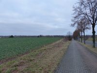
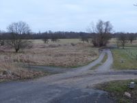
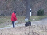
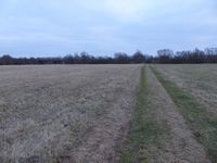
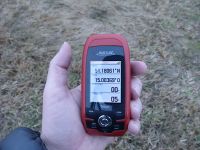
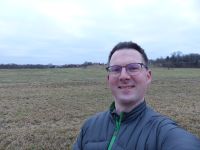
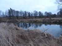
After a change of trains in Bischofswerda I reached Görlitz at quarter to three. Then I took a tramway in the direction of the hashpoint as far as I was able, more than halfway. From there I started walking after finally remembering to start the GPS device. I walked along two long roads until I was not far from the spot. There I followed a field track. A man with a friendly but very large dog were there, about 200 m from the spot. Bruno was so large that he was able to lick my face while his back paws were still on the ground! Or he would have been able to if I didn't dodge. I later noticed that Bruno had had muddy paws, good thing I wanted to wash those pants anyway. Reaching the spot was easy, but I was 20 minutes early. After taking pictures, I walked to the Neiße river to look across to Poland, then I was back at the spot at 4 p.m.
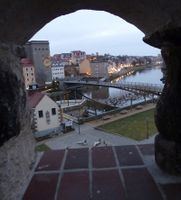
After that, I walked back towards Görlitz. I took some pictures in the same places as years ago and walked to the town center to the train station. The train brought me to Dresden and I cycled the rest of the way home, 5.5 hours after the start of the expedition.
In total, I walked about 7.5 km, the train ride was 102 km each way. This is only the second expedition in this graticule, the other one was my very first expedition and in the Polish part.
I finally completed the regional geohashing achievement for Saxony by reaching hashpoints in all 8 graticules that state has area in. That took 4524 days – or 12 years, 4 months and 19 days – since the first expedition: 51 12, 51 13, 51 14, 51 15, 50 11, 50 12, 50 13, 50 14.
Danatar earned the Regional geohashing achievement
|
|
