Difference between revisions of "2023-08-31 52 7"
m |
(Radio Yerevan) |
||
| Line 150: | Line 150: | ||
{{#vardefine:ribbonwidth|100%}} | {{#vardefine:ribbonwidth|100%}} | ||
{{land geohash|date=2023-08-31|latitude=52|longitude=7|name=[[User:Fippe|Fippe]]|image=2023-08-31 52 7 03 Geohash.jpg}} | {{land geohash|date=2023-08-31|latitude=52|longitude=7|name=[[User:Fippe|Fippe]]|image=2023-08-31 52 7 03 Geohash.jpg}} | ||
| − | {{ | + | {{Radio Yerevan|date=2023-08-31|latitude=52|longitude=7|achievement=[[Last man standing achievement]]|image=lastmanstanding.png|user=[[User:Fippe|Fippe]]|detail=[[User:Baarde|Baarde]] later documented an expedition on the same day}} |
[[Category:Expeditions]] | [[Category:Expeditions]] | ||
Latest revision as of 19:27, 19 May 2024
| Thu 31 Aug 2023 in 52,7: 52.2944150, 7.6212793 geohashing.info google osm bing/os kml crox |
Location
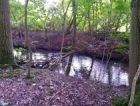
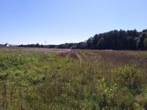
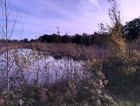
This Geohash is located next to a stream in Gravenhorst.
Participants
Consecutive Geohash
This expedition is the first in a 89-day 112-expedition streak. 109 of those expeditions were successful, at least one for each day, allowing me to claim the longest Consecutive Geohash to date. --Fippe (talk) 18:10, 28 November 2023 (UTC)
Expedition
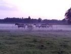
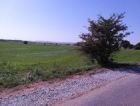
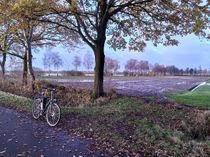
In the evening, I took the train to Hörstel and walked the rest of the distance.
The coordinates were next to a stream, and I initially approached from the southern end. While I got within GPS accuracy, I never seemed to be able to get closer than six meters. As the width of the stream was less than that, I wanted to try from the northern side.
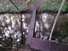
Luckily, a small bridge consisting of a single steel beam was nearby. Once on the correct bank of the stream, I was able to zero in.
After recording proof, I walked to the station in Ibbenbüren-Esch and took the train back home.
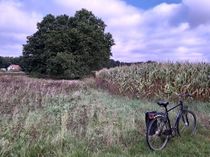
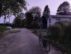
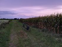
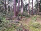
Photos
Tracklog
Ribbons
Fippe earned the Land geohash achievement
|
Is it true that Fippe earned the Last man standing achievement?
|
